This site is photo and video focused combination of hikes, bike rides and other outdoor sports with the occasional visit to a small brewery or winery.
We are also working on offering outdoor sports guiding and coaching.
Utah Colorado Alaska Arkansas Florida Trail Preview National Park System Hiking Mountain Biking State Park Rocky Mountains Train Glacier









After stopping at the visitor center I went to a nearby trailhead to hike a set of trails. Several trails and parts of trails were closed due to hurricane damage. First I went out Christmas Road and took a left at the fork onto Ring Levee Trail. The trail has a recently reconstructed boardwalk, but it ends and the trail is closed about .15 km from the end on the maps.
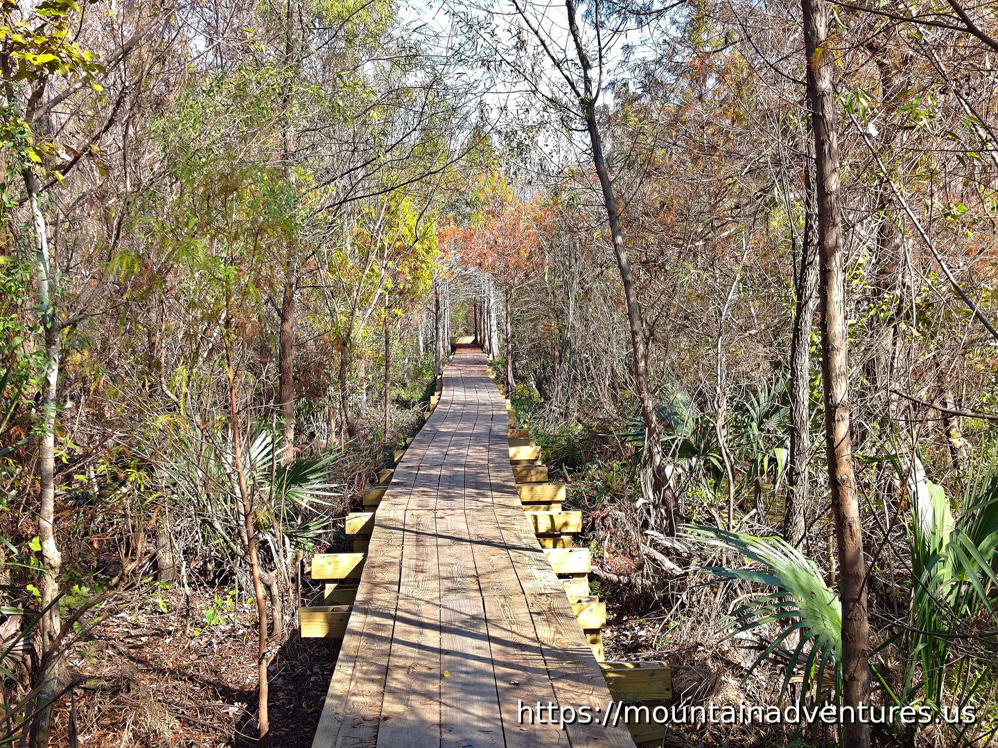 Boardwalk on Ring Levee Trail
I headed back to the fork and took the other branch. The Wood Duck branch got wetter and wetter until it was underwater as far ahead as I could see.
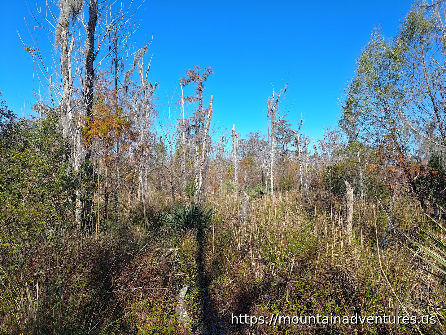 Thick Swampy Vegetation Along Wood Duck Trail
I headed back to the trail head and headed out the Plantation trail on the other side. I planned to do a loop using it and a couple other trails. I encountered sections of the trail that were covered in water, but was able to get around them. When the trail was covered in water as far as I could see, I turned back. I was able to hike 4.6 km with no elevation gain.
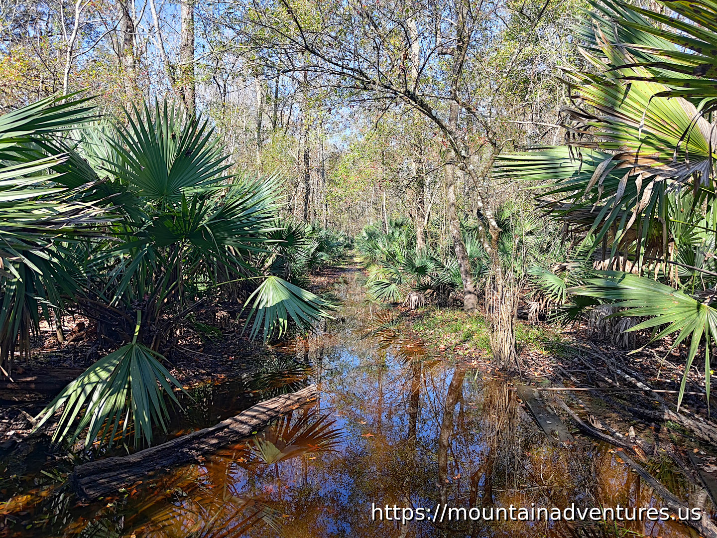 Long Stretch of the Trail Underwater - Turn Around Point
Next I drove a short way through the preserve to Bayou Coquilla trail. The trail is a path on higher ground with some boardwalk. On the way many side boardwalk lookout points were closed, which are probably being repaired as I write this.
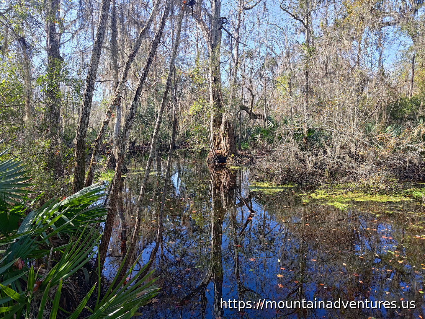 Reflection in Bayou Coquille
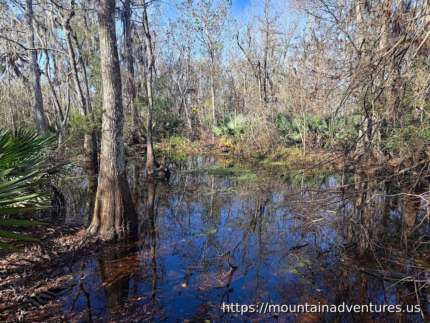 Cypress Trees in Bayou Coquille
The trail is mostly a wide gravel path and easy to follow.
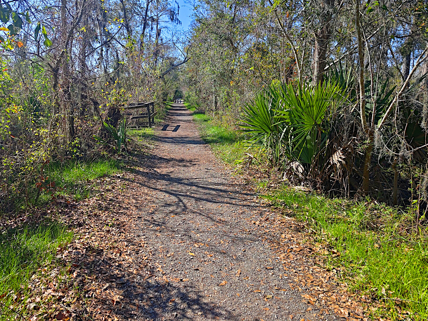 Bayou Coquille Trail
The trail is close to the bayou at the start then gets away from it before ending at the Lower Kenta Canal. Another trail goes off from here, but it was closed. The hike, out and back was just under 2 km with no elevation gain. It took about a half an hour.
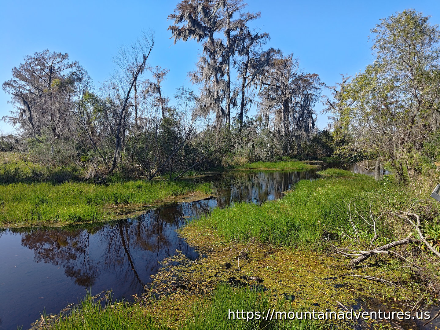 Canal at the End of the Trail
©2022 - 2026 Mountain Adventures LLC all rights reserved (Designed by On the Grid Web Design LLC)