

This site is photo and video focused combination of hikes, bike rides and other outdoor sports with the occasional visit to a small brewery or winery.
We are also working on offering outdoor sports guiding and coaching.
Biking Utah Colorado Alaska Mountain Eagle Hike MTB Trail Travel Train Creek Glacier
![]()
![]()
![]()
![]()
![]()
![]()
![]()
![]()
![]()
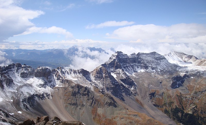
San Juans Trips 9-09 - View When the Clouds Had Cleared
(San Juans - Part 3)Mt. Sneffels is third highest mountain in the San Juans, 14,150 ft. The hike up it is short, but steep and fun. The drive from Ouray to the trailhead was very scenic and part of it is a shelf road with amazing views.
[img 61] Overhanging Rock
[img 6...
Full Post
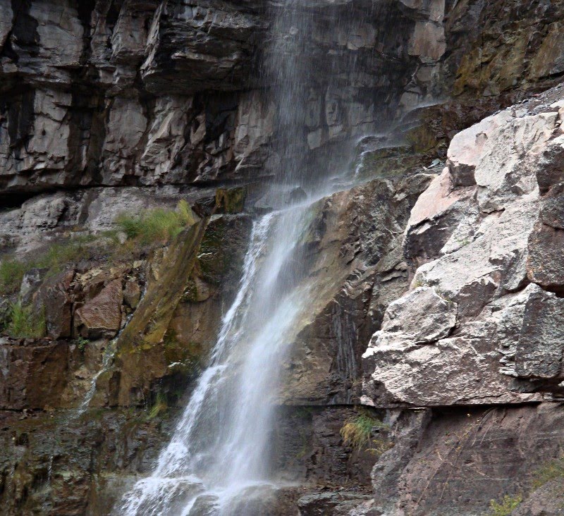
San Juans Trips 9-09 - 57 Cascade Falls
A collection of photos from Ouray and Ridgeway, Colorado including a brewery or two, mountain scenery and a waterfall.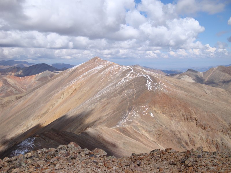
Redcloud Peak
(This is the first of several trip reports from my San Juans trip in September.)
We started at the Silver Creek Trailhead for the climb up Sunshine and Redcloud Peaks. The first part of the trail followed Silver Creek up through a scenic valley.
[img 50]Trail Going Along Silver Creek
We tur...
Full Post
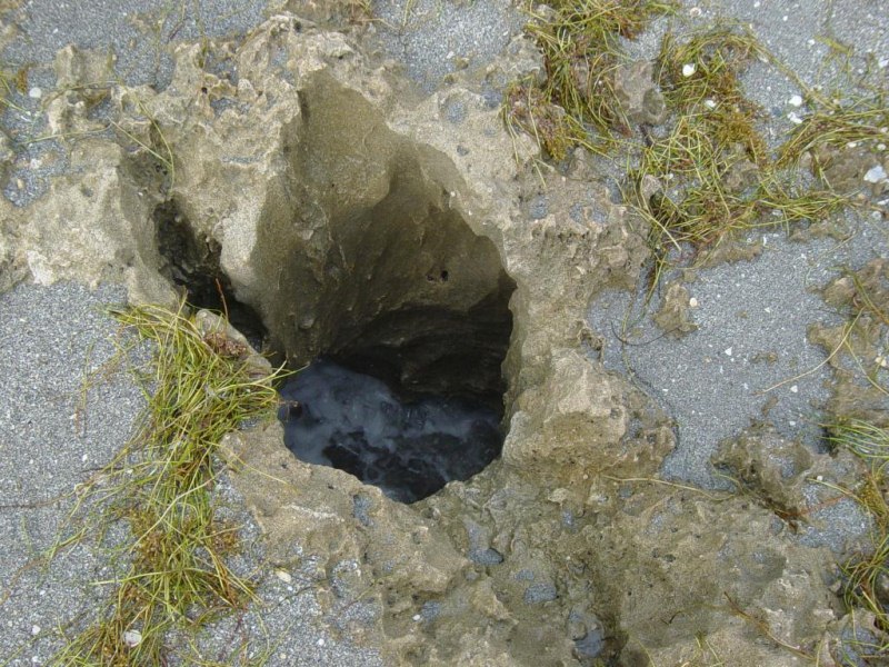
Blowhole
Here's some more pics from Blowing Rocks on Jupiter Island.
[img 49] Waves Coming In
[img 48] Man-O-War
[img 47] Rock Blowhole
[img 46]
Bird Preparing for Takeoff<...
Full Post
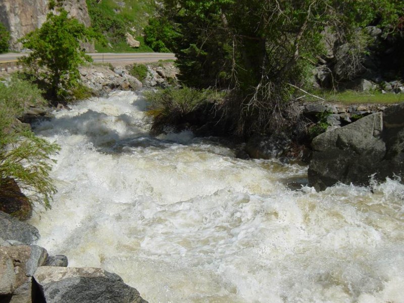
Rapids
Photos of Boulder Creek near flood stage with it going over its banks and damage a bridge. It's rapids were big with long stretches of whitewater.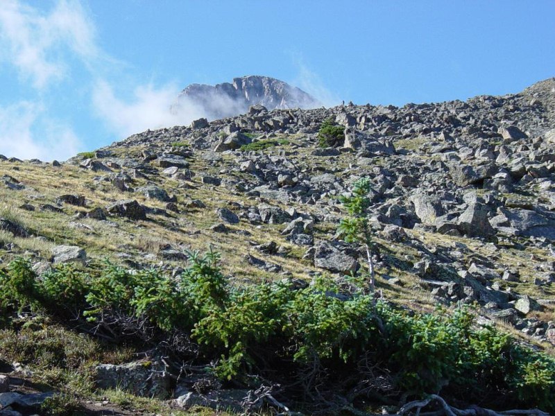
The Peak Sticking Up Above a Ridge
The Mountain of the Holy Cross, with an elevation of 14,005 ft, is the third lowest 14er in Colorado. Colorado has 53 peaks higher than 14,000 ft called 14ers. They range in height from 14,001 ft up to 14,433 ft. The Holy Cross Wilderness is one of the most beautiful areas of Colorado. The Mountain of the Holy Cross is known for a snow cross on ...
Full Post
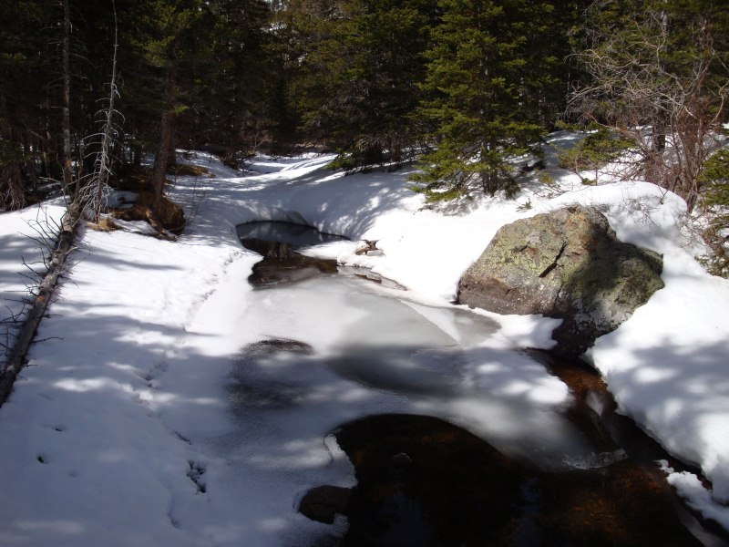
Water Flowing on Glacier Creek
Snowshoe hike in Rocky Mountain National Park near Bear Lake. We went by a couple of frozen lakes and by a snow cover waterfall while following a creek up a valley.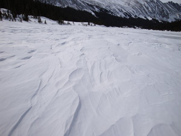
Crusty Snow on Long Lake
A few weeks ago a couple of us went for a snowshoeing hike close to Boulder. The Brainard Lake area is about 35-45 minutes from Boulder. During the winter the road to the lake is closed. The road...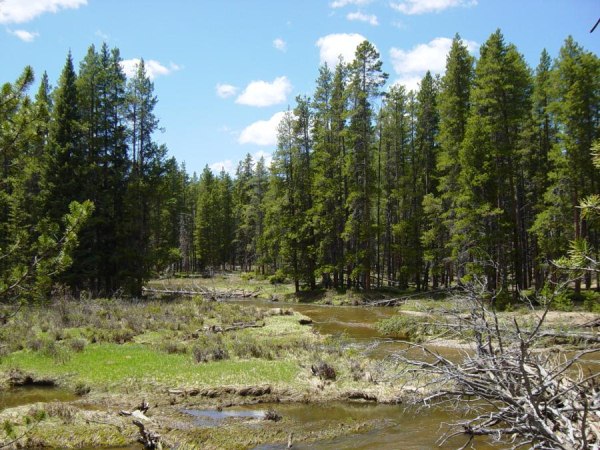
Valley Loop Trail Hike 6-03 - Colorado River 1
This trail is on west side of Rocky Mountain National Park in the headwaters of the Colorado River where it meanders through pine forests and meadows in the Kawuneeche Valley.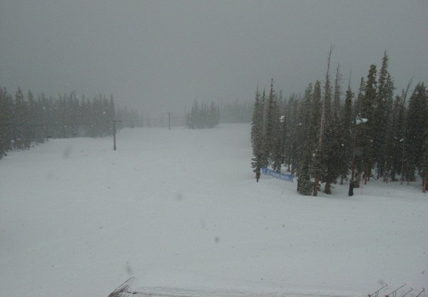
Keystone 4-03 - Looking Down From Top About Noon
Weather can change fast in the mountains. This day, I was snowboarding at Keystone. In the morning the skies were blue and the snow conditions were not good. The snow was hard packed. This first picture is of the North Peak from the top of the front mountain.[img 13]
Looking down a trail at the base area.[img 14]
...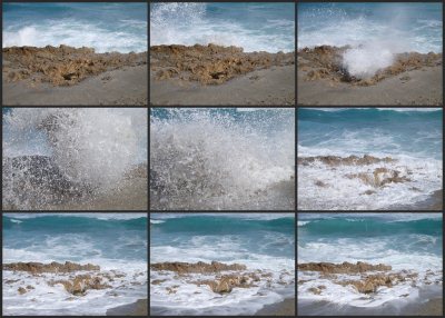
Blowing Rocks 1-09 - Big Splash Collage
On Jupiter Island, just north of Jupiter Florida, there's a nature preserve with a unique feature on the Florida coast. The coast is rocky and the waves have worn holes through the rocks so that when they hit, the water blows up through them. Here is a wide angle of a wave crashing into them.
[img 10]This collage sho...
Full Post
©2022 - 2026 Mountain Adventures LLC all rights reserved (Designed by On the Grid Web Design LLC)