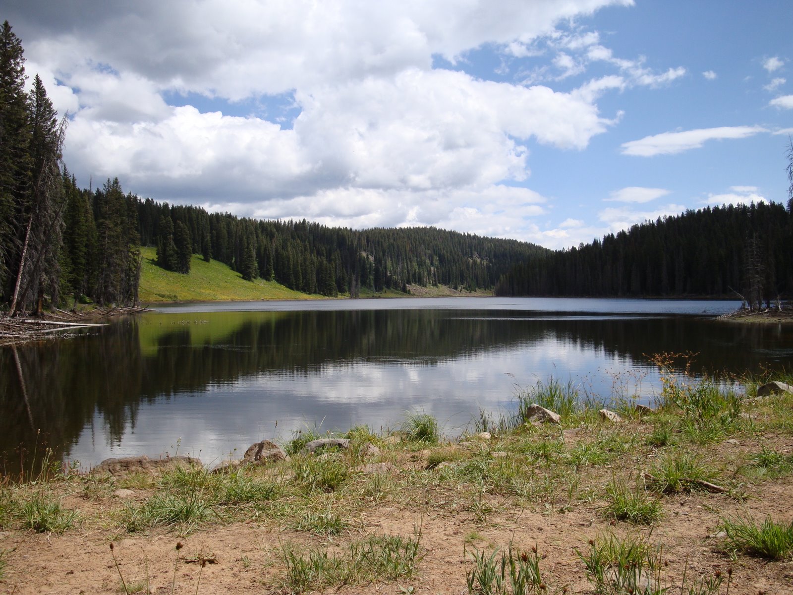
In western Colorado near Grand Junction there's a big chunk of land rising above the desert. Grand Mesa National Forest rises several thousand feet about the Grand Valley and is covered with pine forests, alpine lakes and trails. The forest has the Crags Crest National Scenic Trail, which is a 10 mile loop, by alpine lakes, through meadows and across a rocky ridge. It goes over a ridge call Crags Crest, the highest point in the Grand Mesa National Forest. I hiked it counter-clockwise starting from the Eggelston Lake trailhead on the east side, going up a steep climb to the ridge first. Before the ridge I passed by a couple of alpine lakes.


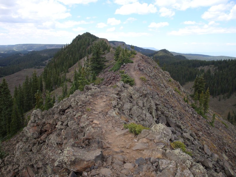
Once on the ridge there were drop-offs on both sides, but the trail was wide and easy to hike.


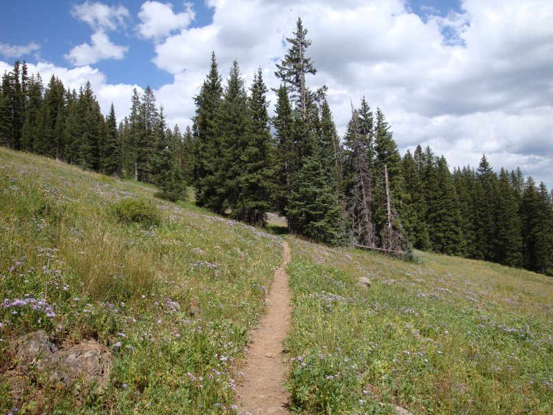
While on the ridge, you can see the many lakes that cover the mesa. There are few tree along most of the the ridge, so the views are great. After coming down the ridge, the trail heads back, through pine forests and meadows.


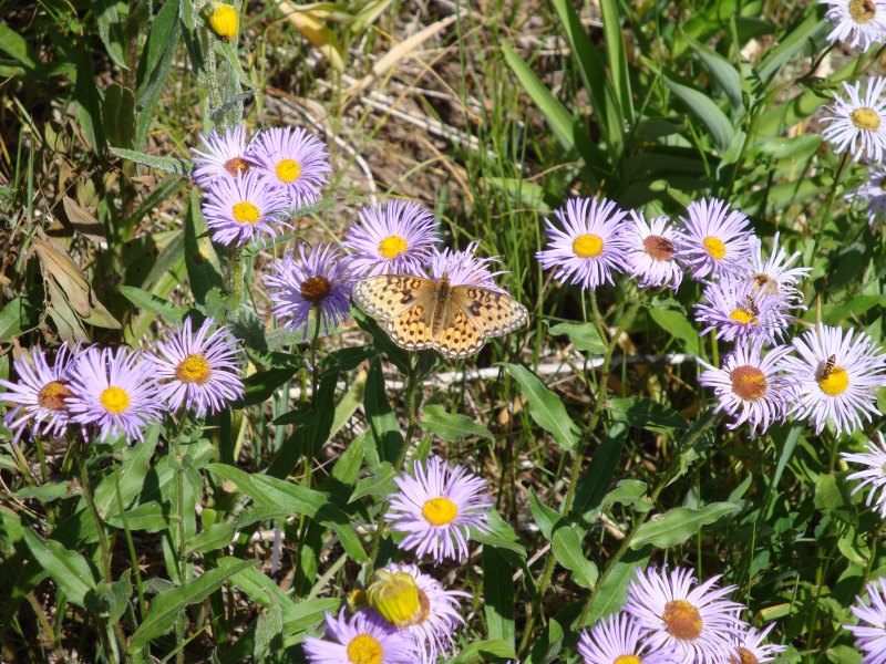
In August there are lots of wild flowers and a few butterflies.


The lower part of the loop is open to bikes, so you can drop off your bike at the west trailhead (it's on the main road through the national forest) and bike back once your down from the ridge. If you have two cars and are short on time, you can leave one at the west trailhead and skip the lower section.
Extra Info:
There are numerous campsites on the mesa, but they can be cool even in August. On the way to the trailhead you have to go by the visitor center, where you can pick up a map of the trail and check the weather.
The town of Cedaredge is on the just south of the forest and is the closest town of any significant size. For a good meal with out spending a lot you can stop at the Olde Bakery Cafe. There's also a winery and cidery near the town where you can get some free sample and take home some liquid souvenirs. Posted by Picasa
©2022 - 2026 Mountain Adventures LLC all rights reserved (Designed by On the Grid Web Design LLC)