
This trail starts from the Rainbow Lakes campground, crosses into the Indian Peaks Wilderness and quickly climbs above treeline. The trail goes along the border of a restricted area where part of Boulder's water supply comes from.
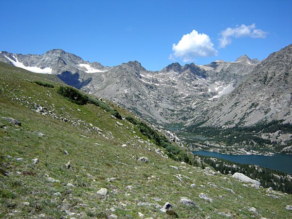 Looking Up the Valley at the Divide
The trail continues to climb until about 12,600 feet where it levels out. After about a mile and a half of going along this ridge, I came around a corner and saw South Arapaho Peak.
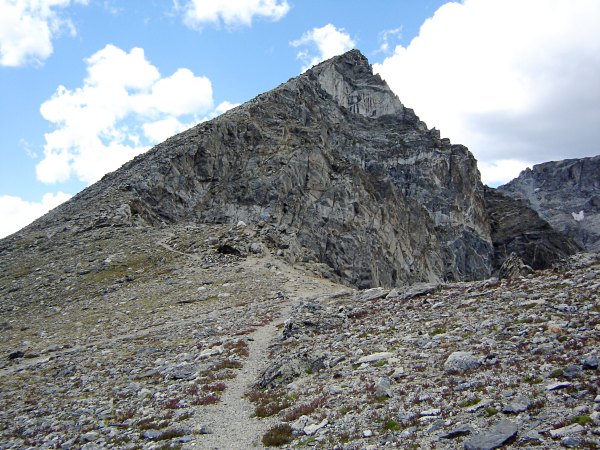 South Arapaho Peak
I had seen it from a distance, now it was right there. When I saw it that close I knew had to climb it, again. Even before getting on top of the peak, the views were great. Mt. Neva, just to the south, is a fun mountain to climb.
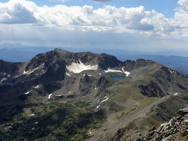 Mt. Neva and Lake Dorothy
About half an hour later and 700 feet higher I was on the peak. While I was taking a lunch break a marmot came up to where I was.
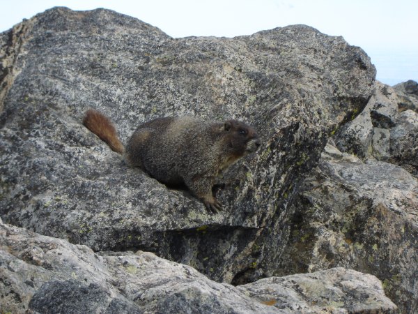 A Marmot Begging for Food
I was also able to look down on Arapaho Glacier.
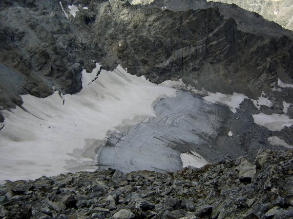 Arapaho Glacier
On the way back down, there were a couple of ptarmigans on the trail. They are masters of camouflage in both summer and winter in the alpine tundra.
 Ptarmigans on the Trail
The hike was almost 13 miles long and took 6 1/2 hours to complete. Most of the hike was above treeline. South Arapaho Peak has an elevation of 13,397 feet. There is another route up to the peak which is shorter, but it does not stay above treeline as long. I've done both. Which one will you choose?
©2022 - 2026 Mountain Adventures LLC all rights reserved (Designed by On the Grid Web Design LLC)