This site is photo and video focused combination of hikes, bike rides and other outdoor sports with the occasional visit to a small brewery or winery.
We are also working on offering outdoor sports guiding and coaching.
Utah Colorado Alaska Arkansas Florida Trail Preview National Park System Hiking Mountain Biking State Park Rocky Mountains Train Glacier







The Rio Grande Village Nature Trail takes you into a bulge in the border with Mexico, down to the Rio Grande and then onto a small hill overlooking the river. This Nature Trail is longer and rougher than a typical nature trail.
If you do the route I did, parking on the far side of the campground, going out the spur to the river and going on the loop up the hill, it is a 3.22 km (2 miles) long hike with 50 m (164 feet) of climbing that takes about an hour.
From the parking area there is has a short stretch of trail, before going through the campground to where the trail really starts. There was a spur down to the river and you have to walk across the floodplain to get to the river. During this hike the river was pretty low and it could be easy to walk across. It being a border though, there are only specific spots with checkpoints you are allowed to cross.
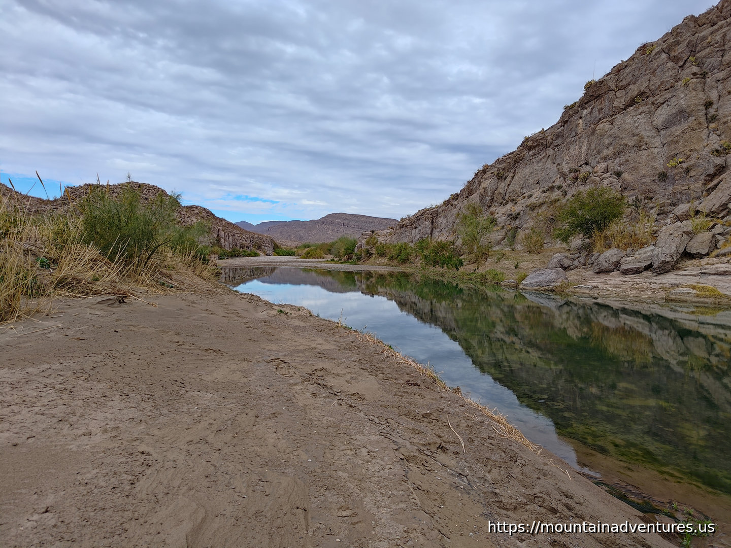 The River
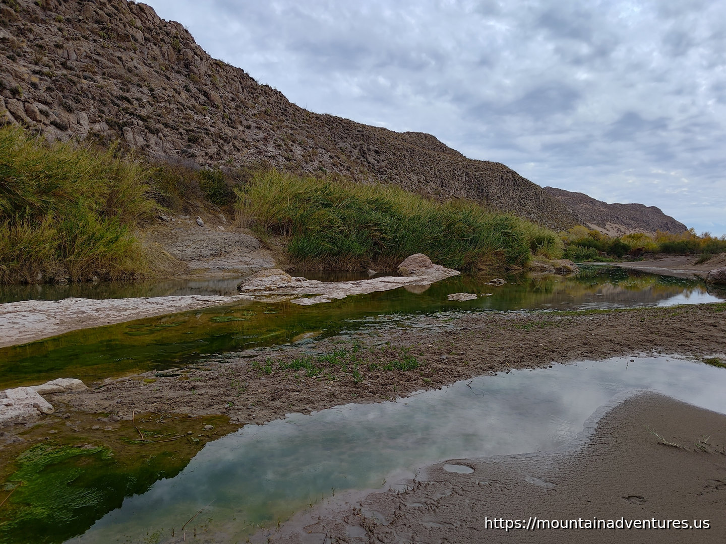 The Rio Grande
Even though this is a desert, there is a lot of plant life.
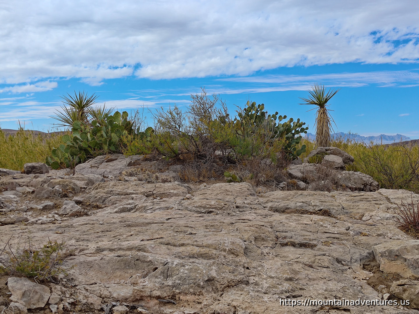 Desert Vegetation
After the spur to the river, the trail goes up a hill that gives you great views of the river along with the mountain ranges in the area.
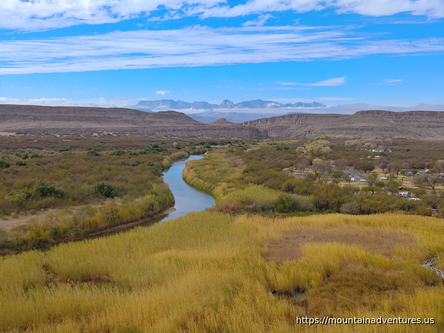 The Chisos Mountains Over the Rio Grande
View from Overlook at the Top of the Trail
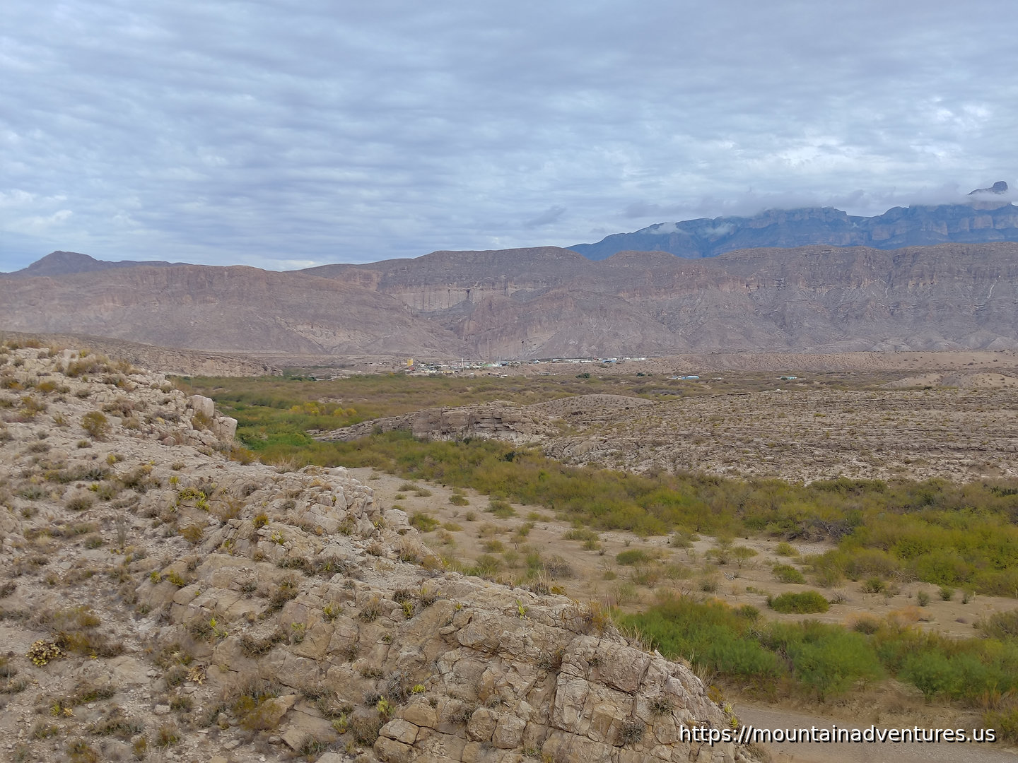 The Town of Boquillas in Mexico
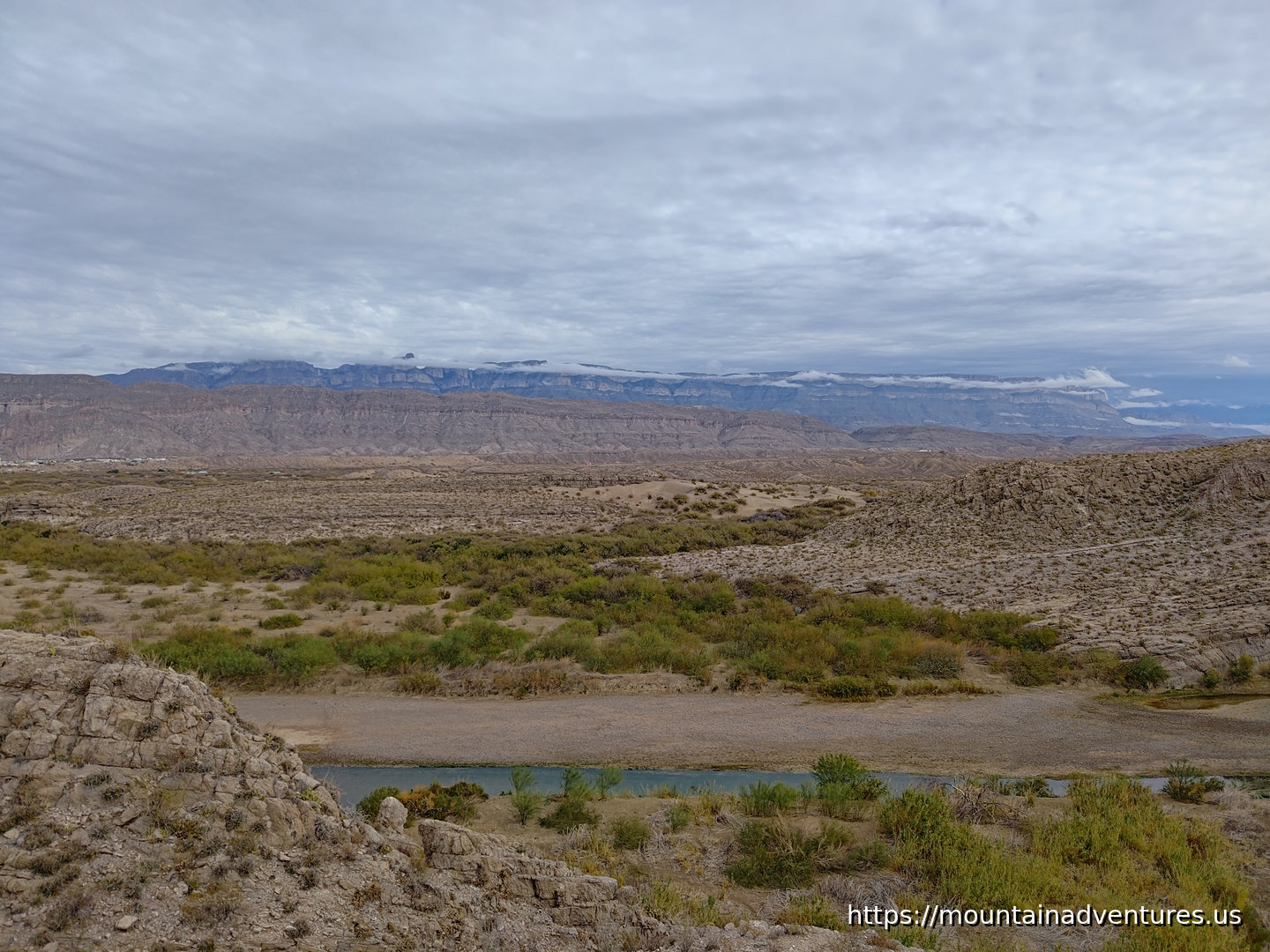 Sierra del Carmen
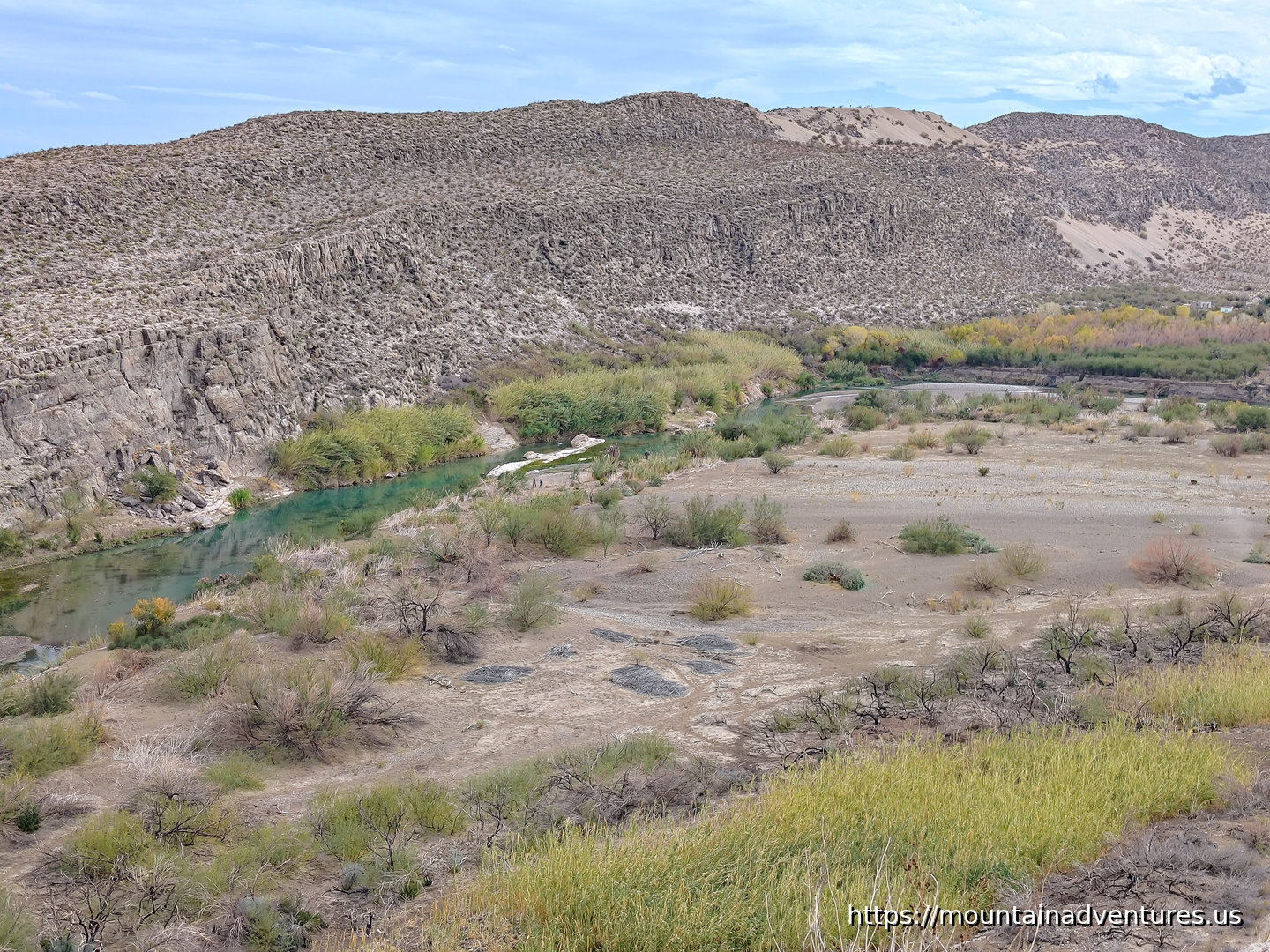 Rio Grande Floodplain
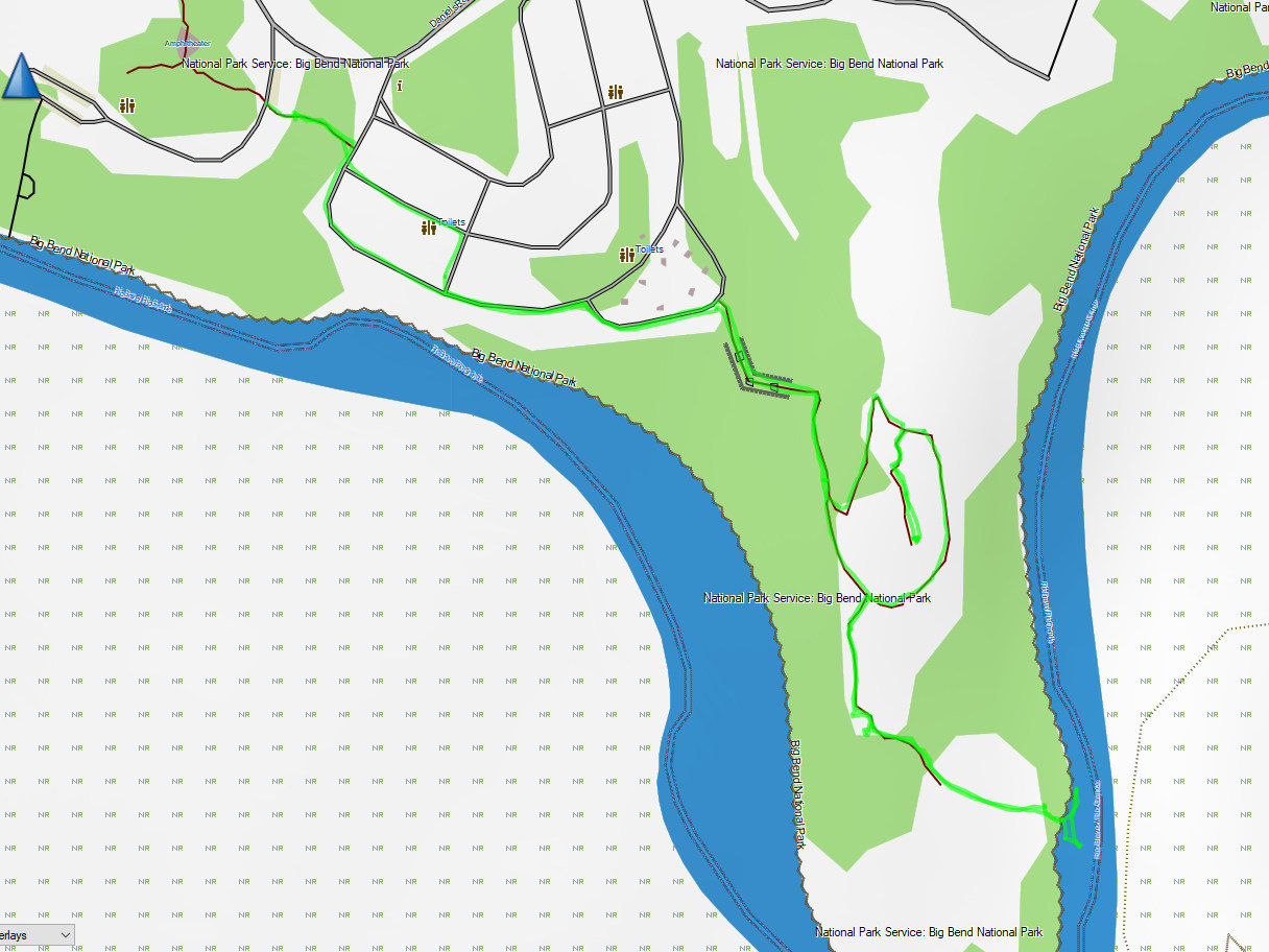 Hike Map
There is not much in the Rio Grande Village, just a store, picnic area and a couple of campgrounds. Between here and the next hike, Boquillas Canyon, there is a parking area by a checkpoint for crossing the border to visit Boquillas Town. You walk from here to the town. At high water, paid ferries carry visitors across the river. At lower levels, people wade across.
©2022 - 2026 Mountain Adventures LLC all rights reserved (Designed by On the Grid Web Design LLC)